Areas covered: Bedford and approximately 20 miles
Independent domestic fencing advice and enquiries for Bedford and approximately 20 miles around it.
Our approximate 20-mile enquiry area
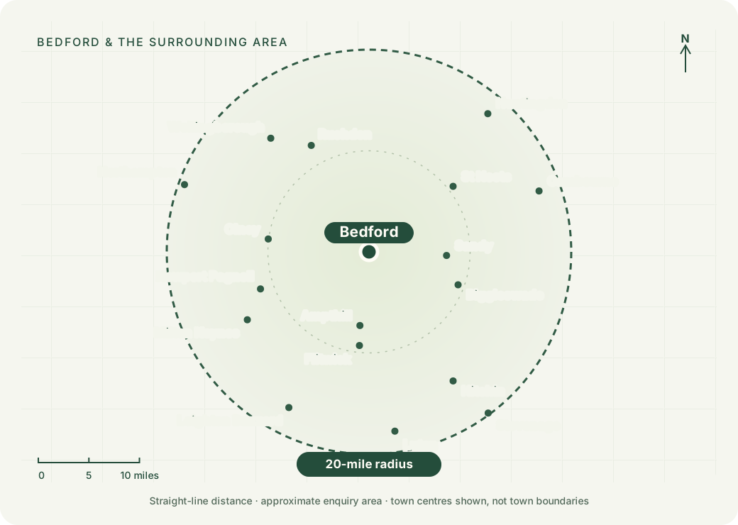
We welcome domestic fencing enquiries from Bedford and the surrounding area, using an approximate 20-mile radius from Bedford town centre as our starting point. The map shows distance in a straight line. Driving routes, travel time and the contractor’s availability can differ.
Places around the area
Bedford, Kempston, Biddenham, Bromham, Clapham, Oakley, Elstow, Willington and Great Barford remain part of our focus. The wider area also reaches towards the following towns and their surrounding villages:
- St Neots, Sandy and Biggleswade
- Ampthill, Flitwick and Shefford
- Milton Keynes, Newport Pagnell and Olney
- Rushden and Wellingborough
- Huntingdon and Cambourne
- Luton, Hitchin and Leighton Buzzard
- Parts of the Northampton and Stevenage areas, near the outer edge
These are enquiry locations, not claims that we have an office, installation team or completed work in each place. We are an independent guide and referral service.
What the postcode check tells you
Enter your full postcode in the project form. The initial check uses selected postcode districts around the target area, including nearby boundary districts for manual review. It does not calculate the distance to your individual property.
Postcode districts cross the map’s circle. A preliminary match is not confirmation that your address lies within twenty miles or that a contractor will take the work. The named contractor must confirm the full address, practical travel arrangements and project before arranging a survey or quotation.
If you are near the edge, give the exact project location when you discuss coverage. A postal address, this map and the enquiry radius do not establish which council or planning rules apply: use our council-checking guide.
Map method and data credits
The circle uses a 20-mile (32.19 km) radius around Bedford’s OS Open Names town-centre point on a local Ordnance Survey grid. It is an approximate geographical guide. No third-party map loads when you view this page, and no customer postcode is sent to a map provider.
Town positions use OS Open Names, and postcode-district screening geography uses the ONS Postcode Directory, obtained through Postcodes.io on 29 October 2026. The district-centre screen includes a small surrounding review band to avoid treating whole districts as exact boundary lines.
Contains Ordnance Survey data © Crown copyright and database right 2025. Contains Royal Mail data © Royal Mail copyright and database right 2025. Contains National Statistics data © Crown copyright and database right 2025. See data licences.